PinPointR
Ground Penetrating Radar Utility Locator - With Tablet
The PinPointR has been developed to maximize in-field productivity by utilizing ImpulseRadar’s innovative real-time sampling (RTS) dual-channel antenna technology, which provides incredible bandwidth, speed, and resolution, all controlled via an intuitive Android-driven user interface.
The ImpulseRadar PinPointR offers a clear and dependable way to quickly and easily locate, avoid or map underground utilities with the functionality required to meet approved industry standards, whilst offering market-leading performance and data quality.
Detect, Avoid and Map Underground Utilities
ImpulseRadar Real-Time Sampling (RTS) based antenna technology
Quick, clear and dependable locates to maximise in-field productivity and decision making
Dual channel operation400 MHz (LF) and 800 MHz (HF)
One-pass locates with full depth range improves locating efficiency and decision making
Wireless data acquisition
No cables to be lost or broken which simplifies set-up and in-field productivity, and minimises operational servicing costs
Android-driven user interface
Flexibility in choice of acquisition device
7-hour battery life
Low power consumption to extend working time
Internal GPS
Geo-referenced data as standard
Supports external GPS
Compatible with DGPS or RTK-GPS for higher accuracy geo-referencing for mapping/reporting purposes
Automatic utility report generation
Simplifies report generation and proves site visit for job/ ticket sign-off
ViewPoint App
ImpulseRadar ViewPoint is an Android data acquisition application (App) that controls ImpulseRadar CrossOver and PinPointR antennas. When installed on a suitable Android device (Smartphone or Tablet), ViewPoint enables wireless connectivity between the device and the GPR antenna.
The modern and intuitive user interface is designed to maximize your in-field productivity with features and functionality to support your daily workflows. Collect single or multi-line projects with full control over profile lengths and spacing to suit actual site conditions and your specific subsurface investigation objectives.
Gather Data According to your Needs
Individual scans, single-line projects, and multi-line projects (dual-mode, reference line, or GPS)
Efficient Marker Assignments
Pre-set marker colour codes consistent with industry-standards for utilities to match paint-marks on the ground.
User-defined custom colour codes support other applications such as archaeological, environmental, geological, or geotechnical.
Intuitive and Easily Accessible Tools
Make effective adjustments on-the-fly
Channel selection
Depth and velocity fine-tuning
Marker assignment and placement
Data and map screenshots
Filter adjustment – background removal, gain and contrast
Guidance Note
We recommend that you download ViewPoint on Google Play to ensure access to the latest updates automatically.
If restrictions prevent access to Google Play in your country or region, please download ViewPoint from our website, install it manually, and check back periodically for updates.
Important Note
The ViewPoint application ID for the new Google Play version is different from all previous releases (v1.201 and earlier). Therefore, Android will install this as a brand-new app without automatically uninstalling any older version first. Therefore, before downloading version 1.212 on Google Play, we recommend that you first uninstall any earlier versions of ViewPoint from your Android device. At the same time, as a precaution and for backup purposes, you may like to create a copy of your ViewPoint data before proceeding with the new installation.

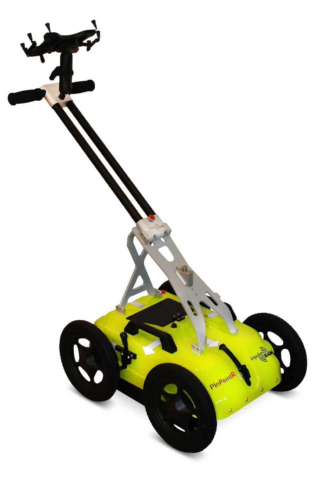 Image 1 of 7
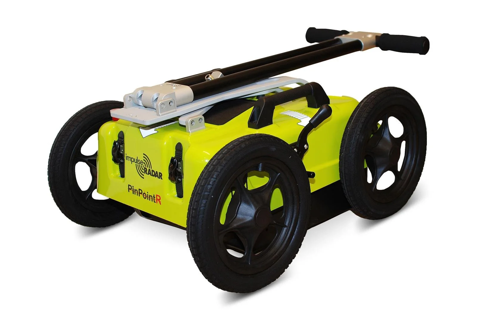 Image 2 of 7
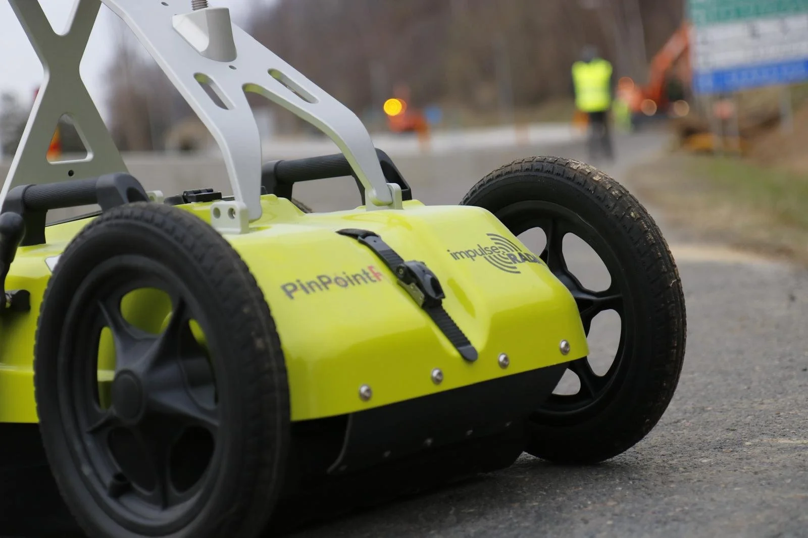 Image 3 of 7
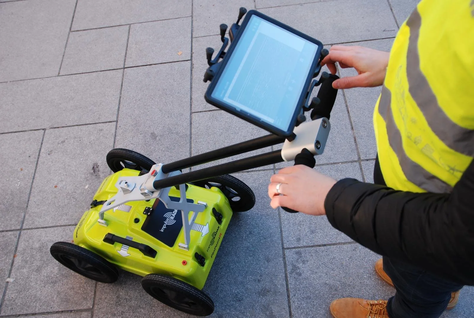 Image 4 of 7
 Image 5 of 7
 Image 6 of 7
 Image 7 of 7